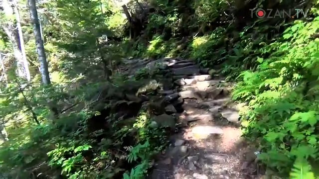
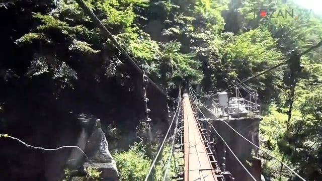
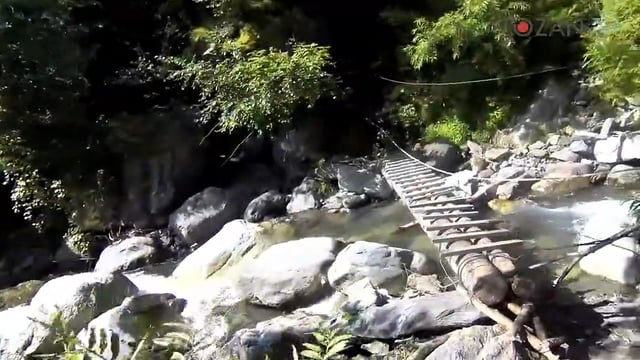
. Daimon-sawa is a river runs along with the trail. [fp "沢"] <a href="#fnref-218-3">↩</a>
</li> <li id="fn-218-4">
[fp "奈良田"] <a href="#fnref-218-4">↩</a>
</li> </ol>
</div>)


| Time | Event |
|---|---|
| 00:08:21 | a sign |
| 00:24:32 | reached the Daimonsawa descent point |
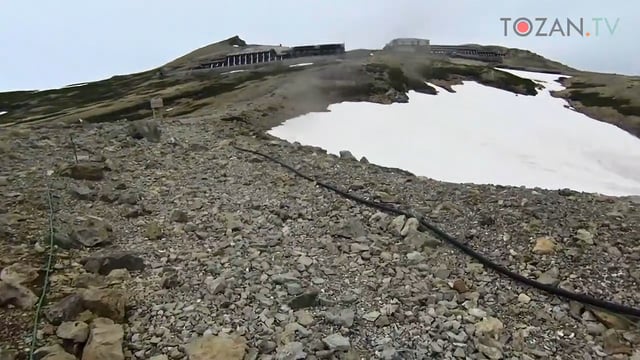
Standard Course Time 0:40Actual Time 0:25 63% [ + 0:15 ]
From Noutori-dake to Daimon-sawa descent point
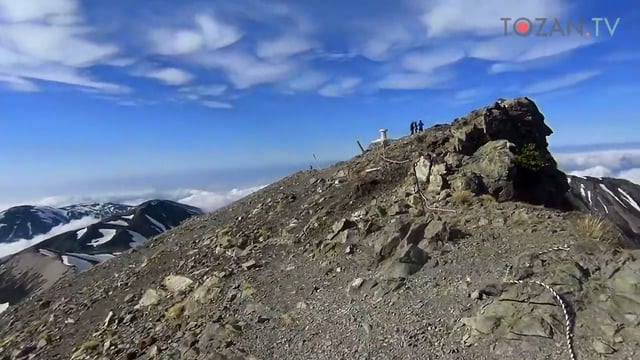
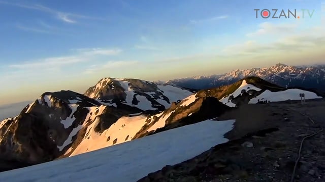
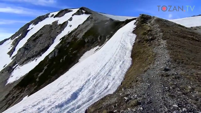
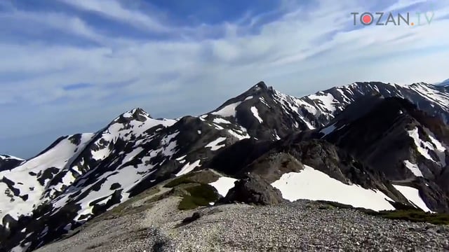
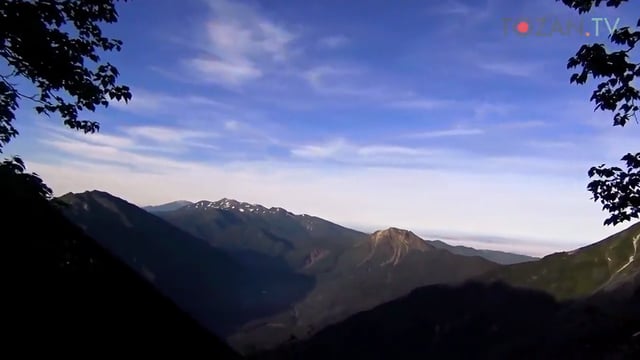
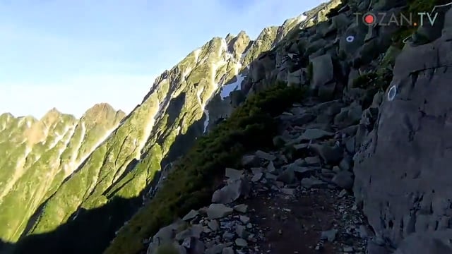
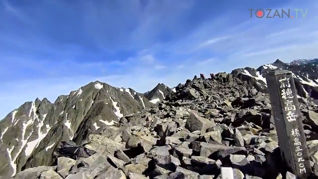
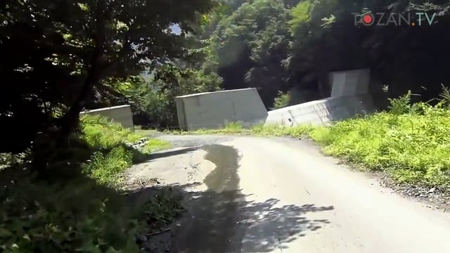
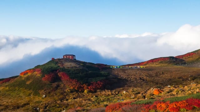
A beautiful ridge continues after Noutori-dake1. The farther I went, the bigger deep south part of Southern Japanese Alps2 became. Daimon-sawa descent point3 is a junction to descent to Narata4. You will see the bell on the col, Daimonsawa descent point is there.
- 農鳥岳(農鳥岳). One of the Shirane three mountains(白根三山(しらねさんざん・Shirane-sanzan). Shirane-sanzan consists of Kita-dake, Aino-dake and Noutori-dake. ↩
- 南アルプス(みなみあるぷす). "南" means south. Southern Japanese Alps is a mountain range across Yamanashi prefecture, Nagano prefecture and Shizuoka prefecture. also called Akaishi-sanmyaku in Japanese. I have an impression that the mountain belongs to Southern Japanese Alps are bigger than other Japanese Alps. I love Southern Japanese Alps the most. ↩
- 大門沢下降点(だいもんさわかこうてん). Daimon-sawa is a river runs along with the trail. "沢" is the meaning of a river. In Japanese, most of the river in the city must be "川". "沢" is contained in "川" but "沢" is shorter and/or narrower than "川". There is no absolutely standard. Judging relatively whethere it is "川" or "沢". By the way, Sawa is sometimes used meaning of a watering place when using alone. ↩
- 奈良田(ならた). Narata is a one of the place to start hiking in Southern Japanese Alps. Any private cars can not enter Narata ahead, so every hiker who plans to hike Kita-dake or Aino-dake has to get on the bus from Narata. ↩