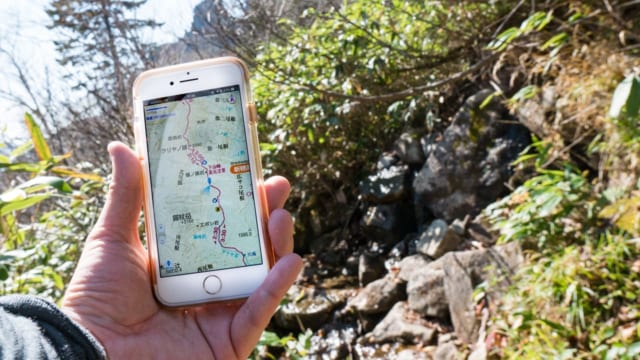
KIta-dake & Shirane-sanzan / From Hirogawara-an to Narata
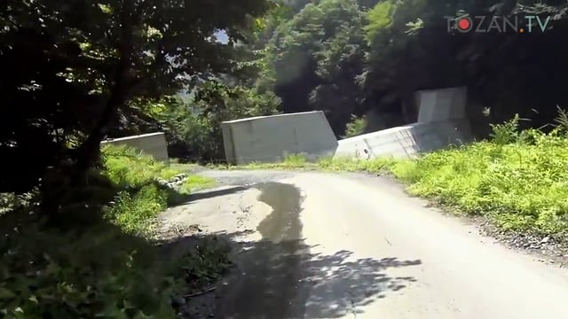
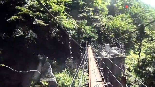
From Hirogawara-an to Narata Trails became a paved road after Hirogawara-an1. Through the small dam, a gate of this road, then cross bridges, finally Narata2 parking would come into sight. 広河原庵(ひろがわらあん). That is a small rest place. You can’t buy anything there. ↩ ↩
KIta-dake & Shirane-sanzan / From Hatchou-zaka to Hirogawara-an
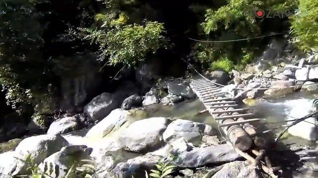
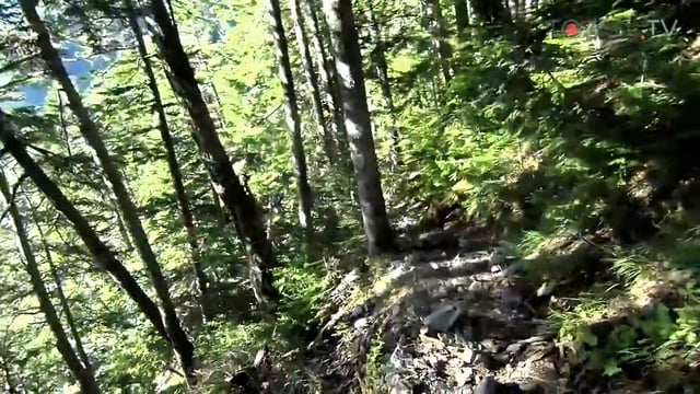
From Hatchou-zaka to Hirogawara-an Keep on walking in the forest after downlill of the Hatcho-zaka1. This trail also can walk in fresh mood along with the creek. Trail will be almost finished when crossing over last suspension bridge. 八丁坂(はっちょうざか). “坂” means a slope. ↩
KIta-dake & Shirane-sanzan / Descending Hatchou-zaka from Daimon-sawa-goya
Descending Hatchou-zaka from Daimon-sawa-goya It continues a fresh trail along with Daimon-sawa1 after Daimon-sawa-goya2. After walking a side of the small ridge, a downhill called Hatchou-zaka3 has begun. Most of the downhill part will be finished when you finished descending of Hatchou-zaka. 大門沢(大門沢). ↩ 大門沢小屋(だいもんさわごや). “小屋” ↩ 八丁坂(はっちょうざか). “坂” means a slope. ↩
KIta-dake & Shirane-sanzan / To Daimon-sawa-goya along with a dry riverbed
To Daimon-sawa-goya along with a dry riverbed Trails atmosphere was changed after a conifer forest area. I walked toward the Daimon-sawa-goya1 along with a dry riverbed. There are a lot of benches at Daimon-sawa-goya, and you can buy drinks here. Here is a good place to have a rest after long descending. 大門沢小屋(だいもんさわごや). “小屋” ↩
KIta-dake & Shirane-sanzan / Through conifer forest toward Daimon-sawa-goya
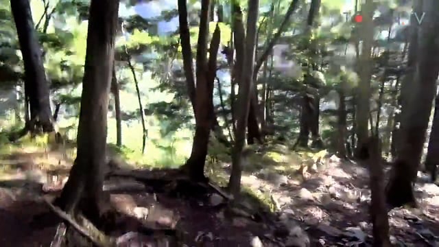
Through a conifer forest toward the Daimon-sawa-goya The trail changed from a creeping pine area to a conifer forest that is often seen in Southern Japanese Alps1. The sun grew less strong since I entered into a tall conifer forest. It still continues a long ascent. ↩
KIta-dake & Shirane-sanzan / From Daimon-sawa descent point to creeping pine area
From Daimon-sawa descent point to creeping pine area A long long descent from Daimon-sawa descent point1 has begun. A long but beautiful ridge walk ends. I started to hike down though I looked back to the deep south of Southern Japanese Alps2. 大門沢下降点(だいもんさわかこうてん). Daimon-sawa is a river runs along with the trail. ↩ ↩
KIta-dake & Shirane-sanzan / From Noutori-dake to Daimon-sawa descent point
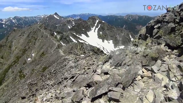
From Noutori-dake to Daimon-sawa descent point A beautiful ridge continues after Noutori-dake1. The farther I went, the bigger deep south part of Southern Japanese Alps2 became. Daimon-sawa descent point3 is a junction to descent to Narata4. You will see the bell on the col, Daimonsawa descent point is there. ↩ ↩ 大門沢下降点(だいもんさわかこうてん). Daimon-sawa is a river runs along with the trail. ↩ ↩
KIta-dake & Shirane-sanzan / From Nishi-Noutori-dake to Noutori-dake
From Nishi-Noutori-dake to Noutori-dake The sun was rising higher in the sky. I started walking Hida-side1 toward Noutori-dake2. Shiomi-dake3 increases its presence. I enjoyed a great scene of deep south of Southern Japanese Alps4 while walking here. ↩ ↩ ↩ ↩
KIta-dake & Shirane-sanzan / From Noutori-goya to Nishi-Noutori-dake
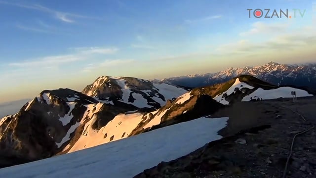
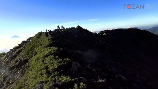
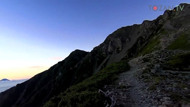
From the Noutori-goya to Nishi-Noutori-dake Ascent to Nishi-Noutori-dake1 in the morning dawn. Mt. Fuji2 can be see on the sea cloud. It’s a strong windy and a little chilly day. Anyway the scene is great. 西農鳥岳(にしのうとりだけ). “西” means west. ↩ ↩
KIta-dake & Shirane-sanzan / From Aino-dake to Noutori-goya
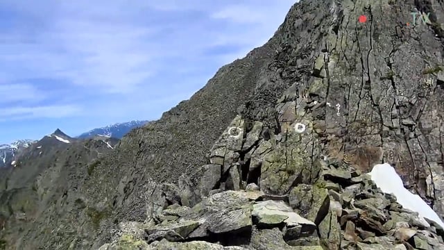
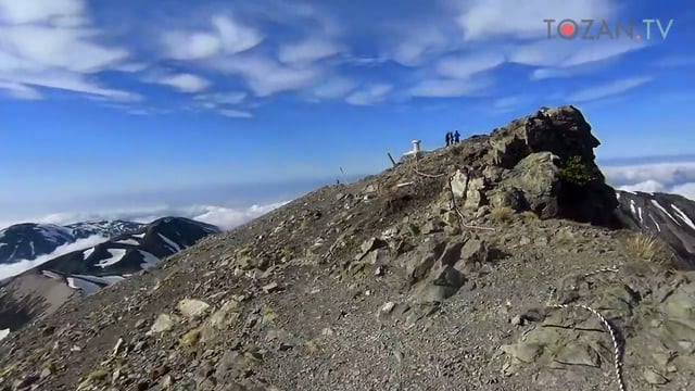
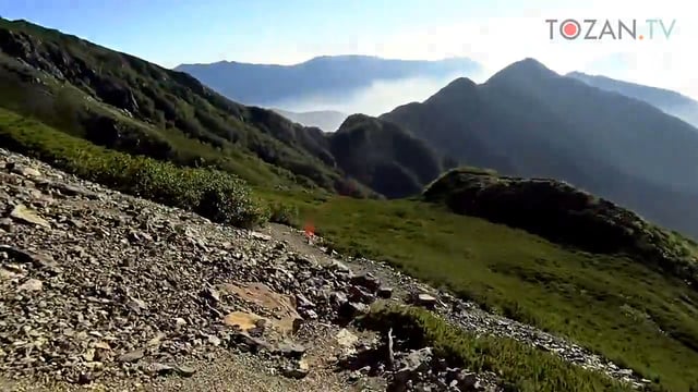
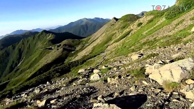
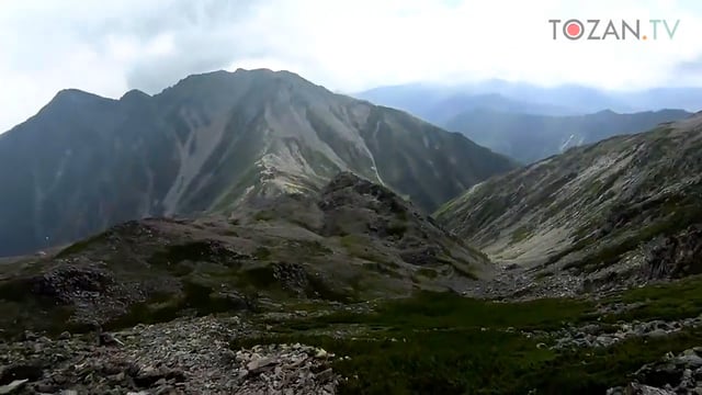
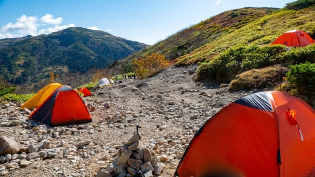
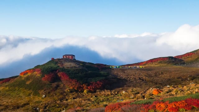
From Aino-dake to the Noutori-goya Decent to the Noutori-goya1 from the summit of Aino-dake2 on the scree. The trail to the Noutori-goya is one side of the double ridges. You should take left ridge. It is a little bit rare in Japan mountains. 農鳥小屋(のうとりごや). “小屋” ↩ ↩

