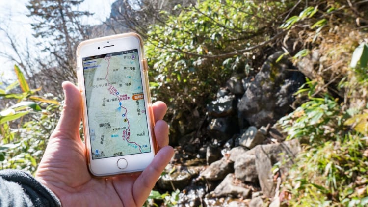
A trail map is essential when we hike in general. There are several ways to get Japanese mountains’ trail maps. Buy “Yama to Kogen Chizu”(B2 size illustrated map) “Yama to Kogen Chizu”1 is one of the most famous maps for hiking. This map has a long history, more than 50 years, and hikers who love harder or more difficult mountains prefer this map. You probably find a elderly hiker who unfold the map to identify mountains at the summit. The map they use would be “Yama to Kogen Chizu” with high probability. This map is a illustrated waterproof map designed easy to look, hard to break. Maps are divided into 61 […]
Read MoreTag: how-to
There are some trail etiquette or manners that you should know before hiking in Japan. I introduce 7 manners. I guess most of these manners are not special in Japan, and we should keep them in mind whenever/wherever we hike in the mountain. Give priority to the ascending hikers If you hike down in a narrow trail that doesn’t have enough space to pass each other, and there is a ascending hiker, please give priority to them in principle. However, if that ascending hiker willing to let you go, you can go ahead. In addition, if you pass each other at quite narrow place, please be stand on the mountain […]
Read More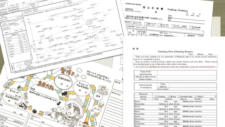
You don’t have to ask permissions to hike Japanese mountains. But there are some requirements by law depending on its season (especially winter) and area. Basic Rule: You need to let local police know about your hiking plan As a general rule, a local police (same prefecture’s police with the mountain where you plan to go. if the mountain across more than two prefectures, either police is possible.) ask all hikers to submit your hiking plan to them. A hiking plan is called “Tozan Todoke”(登山届) or “Tozan Keikakusho”(登山計画書) in Japanese but there is no unified name in English. For example; Trekking Itinerary – Nagano prefecture Climbing Plan – Yamanashi prefecture, […]
Read More
